Topographic Survey
Client: Rural Electrification and renewable energy Corporation
Location: Mombasa, Kenya
Duration: 3 Months
Completion Date: April 2023
Objective: The primary objective of this project was to perform a detailed topographic survey for the planning and design of a new commercial complex in Mombasa. This survey aimed to provide accurate and comprehensive data on the site's terrain and existing features to support the project's architectural and engineering requirements.
Scope of Work:
-
Pre-Survey Preparation:
- Review of Existing Data: Gather and review existing site maps, previous survey records, and any available satellite imagery.
- Site Visits: Conduct preliminary site visits to understand the terrain and plan the survey logistics.
-
Field Survey:
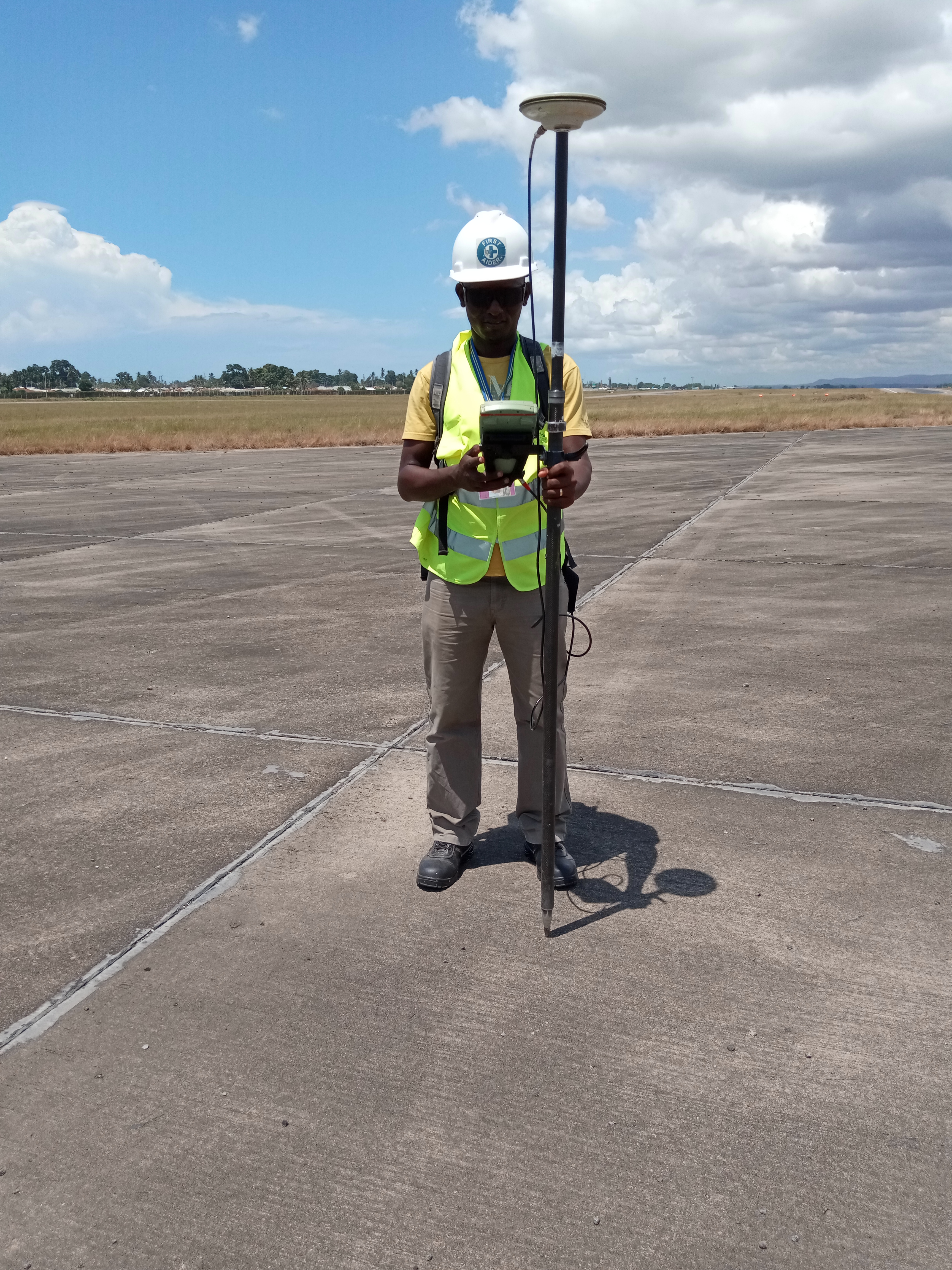
- Equipment Used: Utilize advanced surveying equipment, including GPS receivers, total stations, and drones, to collect precise topographic data.
- Data Collection: Measure and record the site's elevation, contour lines, and natural and man-made features such as buildings, roads, vegetation, and utilities.
- Control Points: Establish control points across the site to ensure the accuracy and consistency of the measurements.
-
Data Processing and Analysis:
- Software Utilized: Use specialized software to process the collected data, ensuring high accuracy and resolution in the generated topographic maps.
- 3D Modeling: Create detailed 3D models of the terrain to aid in the design and planning process.
-
Reporting:
- Topographic Maps: Prepare detailed topographic maps showing contour lines, elevation points, and all relevant features.
- Survey Report: Compile a comprehensive report summarizing the findings, including any potential challenges or considerations for the development.
-
Client Consultation:
- Presentation of Findings: Meet with Coastline Properties to present the survey results and discuss any implications for the project design.
- Recommendations: Provide recommendations based on the survey data to support the client's planning and design decisions.
Challenges:
- Terrain Variability: The site's varying terrain required careful planning and execution to ensure all features were accurately captured.
- Weather Conditions: Mombasa's coastal climate posed occasional challenges, requiring flexible scheduling to complete the survey under optimal conditions.
- Access to Site: Ensuring access to all areas of the site, including densely vegetated or hard-to-reach places, necessitated the use of drones and specialized equipment.
Outcome:
- Accurate Data: The topographic survey provided Coastline Properties with precise and detailed data on the site's terrain, crucial for effective design and planning.
- Enhanced Planning: The 3D models and maps enabled architects and engineers to visualize the site accurately, facilitating better design decisions and project planning.
- Project Efficiency: The comprehensive survey data helped in identifying potential issues early, allowing for proactive solutions and smoother project execution.
Client

Rural Electrification and renewable energy Corporation